

Create Points
v0.3.0Turns latitude and longitude columns into map points, so a plain spreadsheet can be buffered, measured, joined and drawn. Runs offline with no setup.
Create Points
What it does
Turns latitude and longitude columns into map points, so a plain spreadsheet can be buffered, measured, joined and drawn. Every row becomes a point in a new shape column that Buffer, Distance, Measure, Spatial Join and Map Preview all read. Shapes travel as WKT text in longitude/latitude degrees (EPSG:4326); the nodes also read hex WKB or binary WKB. Runs in the compute worker.
Inputs
One table with numeric latitude and longitude columns. For plain degrees, rows where either value is missing or not finite get an empty shape, and a latitude outside -90 to 90 stops the run — usually the columns are swapped, or the numbers are a national grid.
Settings
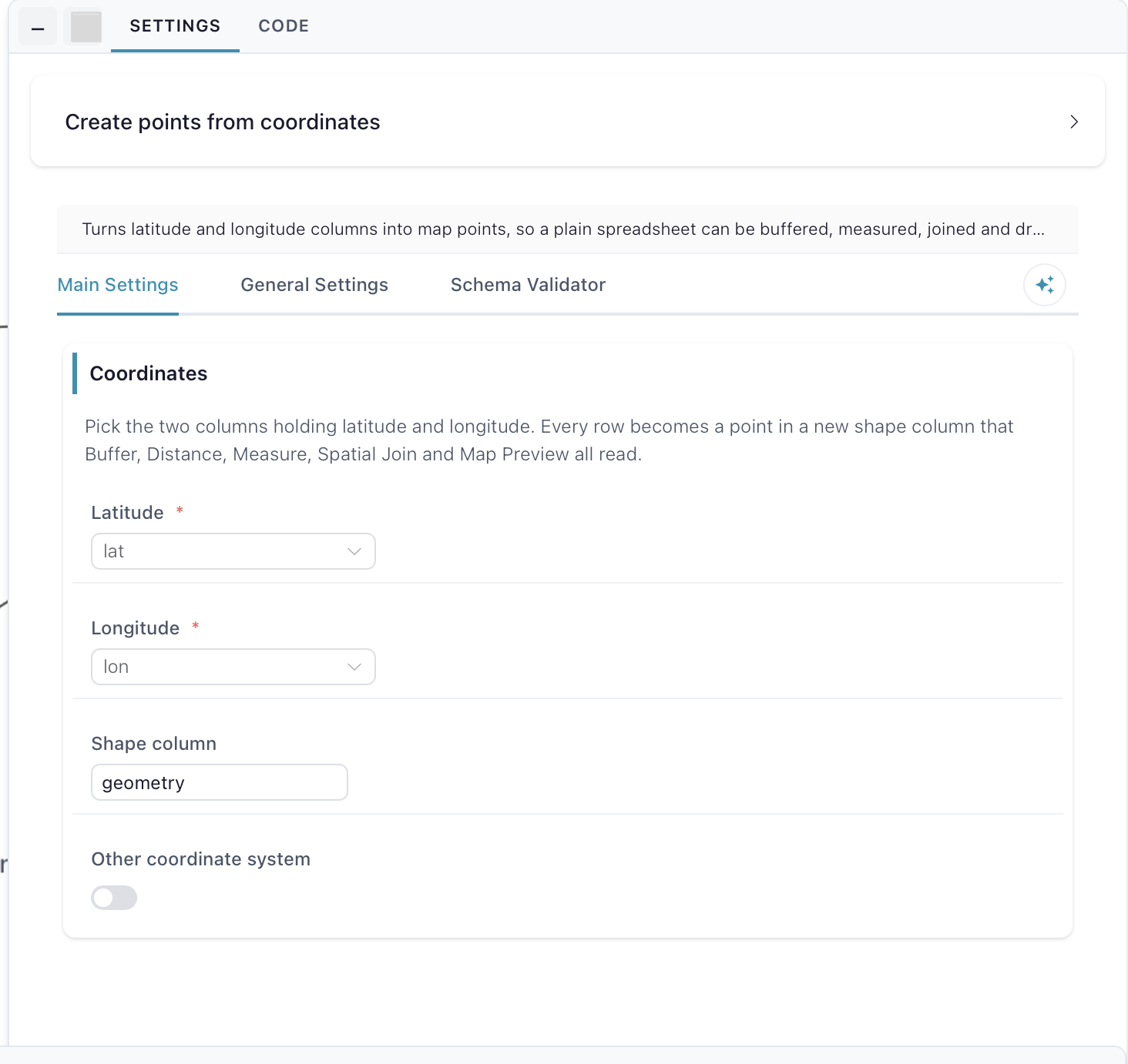
Coordinates — pick the two columns holding latitude and longitude: Latitude and Longitude. Shape column names the new column (default geometry; the run stops if that column already exists). Leave Other coordinate system off for ordinary degrees, which is what phones, spreadsheets and web maps produce; turn it on only for a national grid, such as Dutch RD or British National Grid.
Coordinate system — shown only with that toggle on. Coordinate system takes the EPSG code the numbers are already in (default EPSG:28992); they are converted to plain latitude/longitude, so every later node measures in real distances. Here the Longitude picker holds the easting (X) and Latitude the northing (Y). Needs the map extension, which downloads once on first use.